-
Forest, Ice Loss Observed over 35 Years
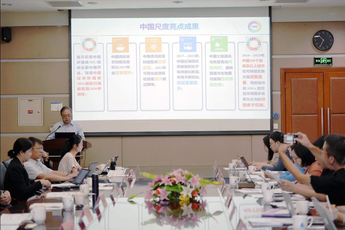
Significant changes in global land cover have occurred from 1985 to 2020, with both forest destruction and restoration accelerating, and impermeable surfaces continuing to expand, according to an annual report on global ecological and environmental remote sensing monitoring released by the National Remote Sensing Center of China on Friday.
Jan 06, 2024
-
Global Production of Bulk Grain, Oil Crops Sees Year-on-year Increase
BEIJING, Jan. 5 (Xinhua) -- The global production of bulk grain and oil crops saw a year-on-year increase in 2023, according to the 2023 annual report on the remote-sensing monitoring of the global ecological environment, which was made public on Friday.
Jan 06, 2024

-
Former UN General Assembly President Visits International Research Center of Big Data for Sustainable Development Goals
On December 6, 2023, Csaba Kőrösi, the 77th President of the United Nations General Assembly, visited the International Research Center of Big Data for Sustainable Development Goals (CBAS).
Dec 07, 2023

-
AIR, ISC Sustain Partnership on International Program Office for Integrated Research on Disaster Risk Program
In a virtual signing ceremony held on November 29, 2023, Prof. WU Yirong, the Director-General of the Aerospace Information Research Institute (AIR) under the Chinese Academy of Sciences (CAS), inked a Memorandum of Understanding with Salvatore Aricò, the Chief Executive Officer of the International Science Council (ISC), marking the commencement of International Program Office (IPO) for the Integrated Research on Disaster Risk (IRDR) Program which has stepped into the second phase.
Dec 01, 2023

-
AIR Releases Airborne Remote Sensing Data Resource Node
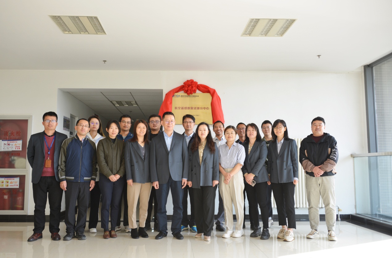
The Airborne Remote Sensing Data Resource Node, a node of the National Earth Observation Data Center, was recently launched to provide flight data services for government departments and research institutions, according to the Aerospace Information Research Institute (AIR) under the Chinese Academy of Sciences (CAS).
Oct 31, 2023
-
Chinese Satellite Constellation Captures High-precision Terrain Images
BEIJING, Oct. 17 (Xinhua) -- A Chinese constellation of remote-sensing satellites has successfully obtained high-precision terrain mapping data products using the multi-baseline interferometric synthetic aperture radar (InSAR) technology, marking the country's first in-orbit application of such a mapping system.
Oct 17, 2023

-
2023 Report on Big Earth Data in Support of the Sustainable Development Goals Released at UN SDG Summit
The Report on Big Earth Data in Support of the Sustainable Development Goals (2023) was released by the Chinese side at the High-level Meeting on Global Development Initiative Cooperation Outcomes held in New York on September 19 local time, according to the Aerospace Information Research Institute (AIR), Chinese Academy of Sciences (CAS).
Sep 20, 2023
-
China's Digital Program Aids Sustainable Dev't of BRI Countries
BEIJING, Sept. 5 (Xinhua) -- China has boosted the sustainable development of countries within the Belt and Road Initiative (BRI) through a series of specially designed digital projects, according to the 7th Digital Belt and Road Conference.
Sep 05, 2023

-
Scientists Predict 10 pct Dryland Expansion Globally by 2100
BEIJING, Sept. 1 (Xinhua) -- Scientists have predicted a great reduction in terrestrial water storage in the next 70 years, accompanied by an expansion of global drylands up to about 10 percent, according to the Chinese Academy of Sciences (CAS).
Sep 03, 2023

-
Satellite Ground Station Runs All-weather, All-day in NW China
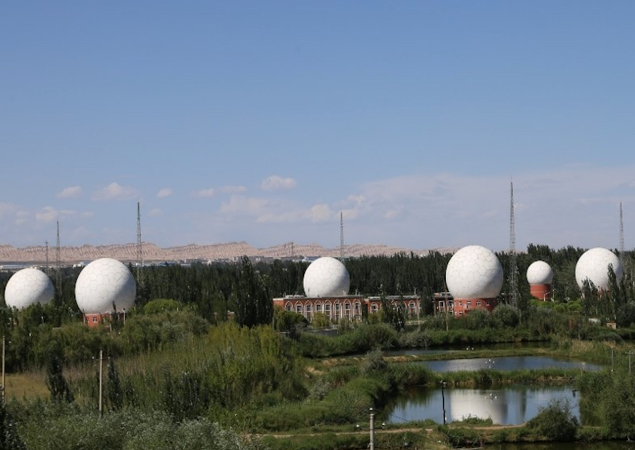
BEIJING, Aug. 14 (Xinhua) -- A remote sensing satellite ground station in Kashgar, northwest China's Xinjiang Uygur Autonomous Region is equipped with multi-satellite, all-weather and all-day observation capabilities, according to the Aerospace Information Research Institute under the Chinese Academy of Sciences Monday.
Aug 15, 2023

-
China Achieves Milestone in Satellite-to-ground Laser Communications
The Aerospace Information Research Institute (AIR) under the Chinese Academy of Sciences (CAS), in partnership with the Changguang Satellite Technology, successfully conducted a satellite-to-ground laser communication experiment at a speed of 10 gigabyte per second (GB/s) using self-developed 500-millimeter-diameter ground system and Jilin-1 satellite.
Jul 04, 2023

-
UN Official Impressed with China's Sharing of Data and Expertise to Achieve the SDGs
China has impressed a UN official with initiatives that are in line with the Sustainable Development Goals. Amina J. Mohammed, deputy secretary-general of the United Nations, says that China has invested in data centers that connect the world and also offer spatial data for ecosystems and cities.
Jul 03, 2023

-
Huangshan Dialogue Ends, Calls for Tech-enhanced Heritage Protection
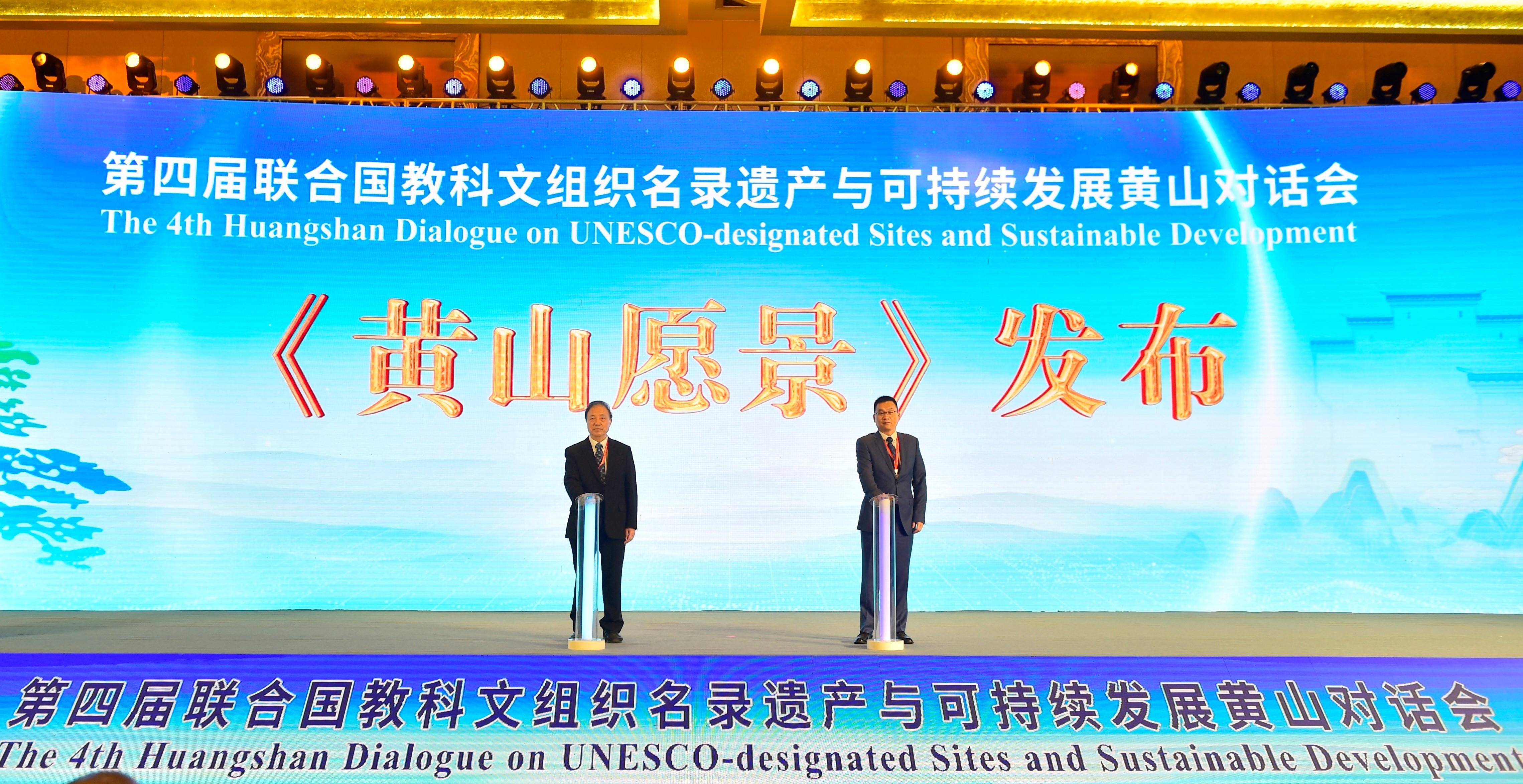
The 4th Huangshan Dialogue on UNESCO-designated Sites and Sustainable Development concluded on Friday in Huangshan city, located in eastern China's Anhui province. The Huangshan Vision, adopted at the conclusion of the dialogue, called for enhanced heritage protection cooperation.
Jul 02, 2023
-
World Heritage: Huangshan Dialogue Releases Documents on Protected Global Sites
The 4th Huangshan Dialogue on the preservation of UNESCO-listed heritage sites is underway in the city of Huangshan in central China's Anhui Province. Zheng Yibing reports.
Jun 29, 2023


News & Events