

Newsroom
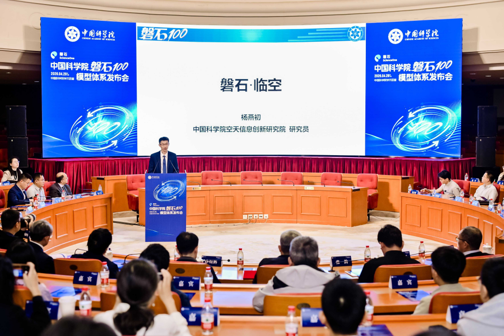
BEIJING, April 28 (Xinhua) -- The Chinese Academy of Sciences (CAS) on Tuesday revealed an artificial intelligence (AI) model system supporting sci...
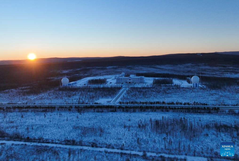
The Mohe Station of the China Remote Sensing Satellite Ground Station is China's northernmost satellite data receiving station. Normally the facili...

BEIJING, Dec. 12 (Xinhua) -- China's northernmost satellite data receiving station officially commenced operations on Friday, according to the stat...
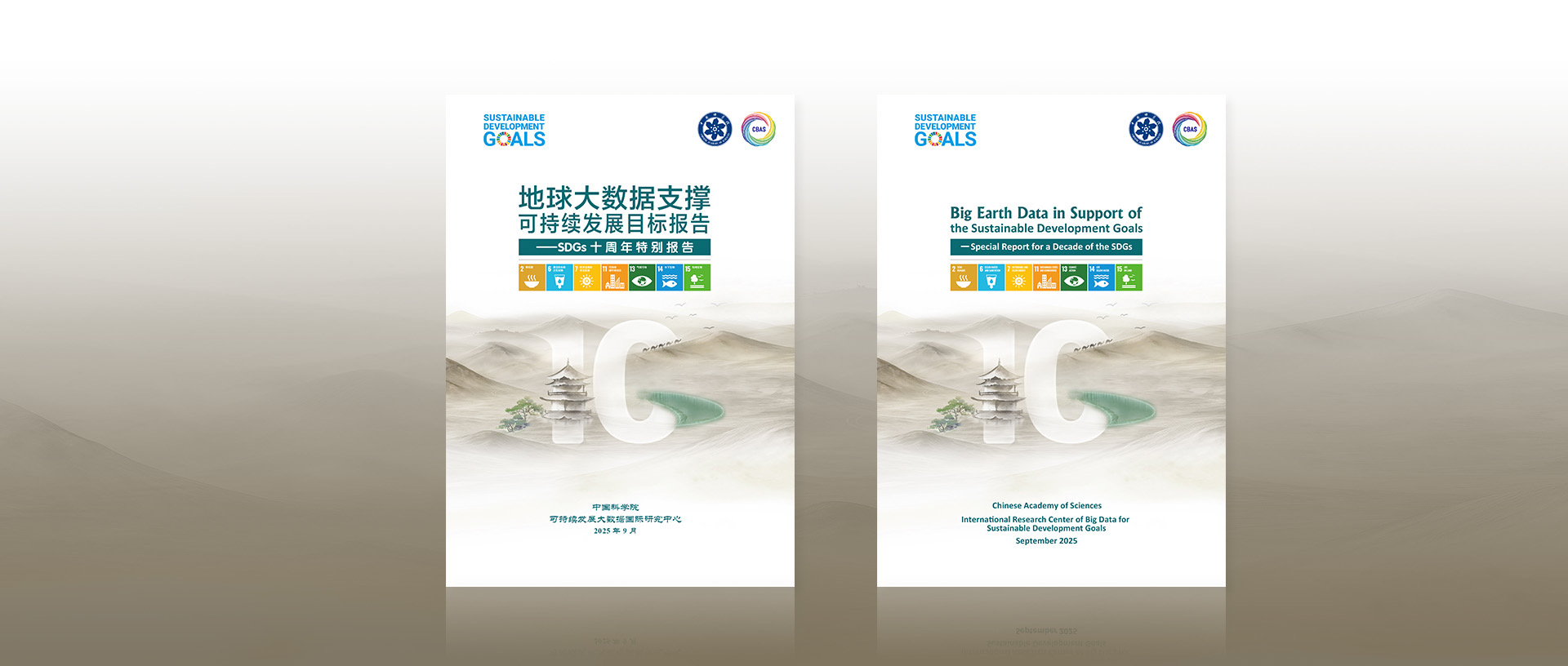
Leveraging Big Earth Data, this report examines seven SDGs—Zero Hunger (SDG 2), Clean Water and Sanitation (SDG 6), Affordable and Clean Energy (S...
RESEARCH NEWS
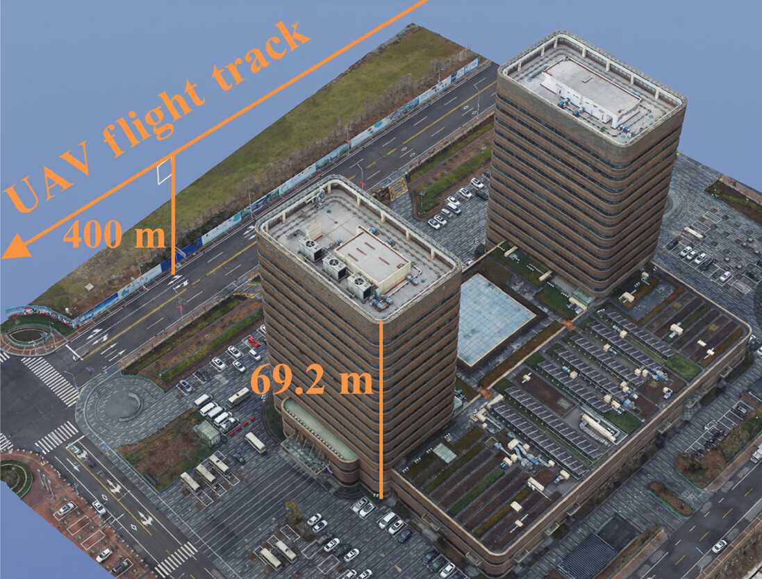
A new imaging framework improves how unmanned aerial vehicle (UAV) radar systems reconstruct three-dimensional (3D) scenes in complex urban environ...
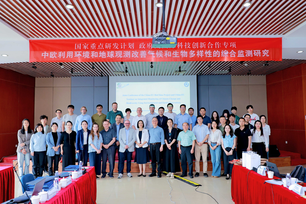
The China-EU joint conference of the BioClima project,“Integrated Monitoring of Climate Change and Biodiversity Improvement via Sino-European Envi...

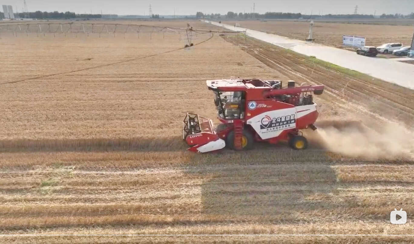
Scientists from the Aerospace Information Research Institute of the Chinese Academy of Sciences (AIRCAS), in collaboration with Shihezi University,...
NEWS UPDATES


EVENTS

- 17 Aug 2026 FIRST ANNOUNCEMENT and CALL FOR SESSIONS and ABSTRACTS for DBAR2026 and ISEO2026
- 16 Jul 2025 PIFI Seminar: A Threefold Approach for Acceleration of Sustainable Development Goals and Their Modelling PIFI Seminar
- 11 Jul 2025 PIFI Seminar: Perspectives of Ecosystem Restoration from Central Europe with Particular Regard of Forests and Urban Environments PIFI Seminar
- 06 Sep 2025 The 5th International Forum on Big Data for Sustainable Development Goals (FBAS 2025)

