-
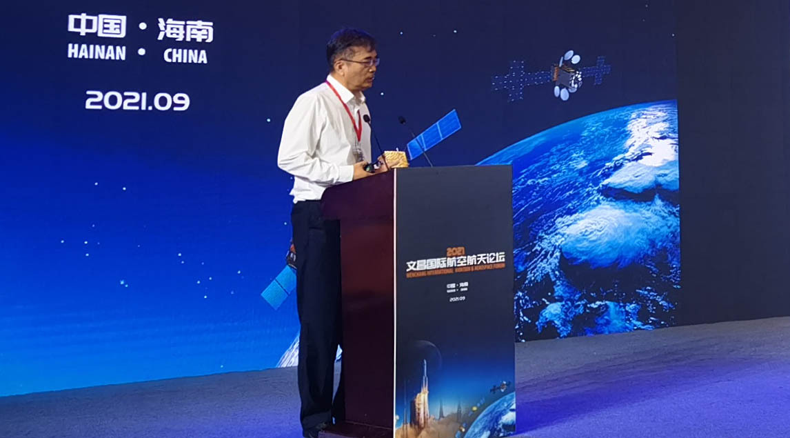
WU Yirong Attends 2021 Wenchang International Aerospace Forum
Wenchang International Aerospace Forum was held in Hainan's administrative center Haikou on Sept. 19, 2021. Prof. WU Yirong, Director-General of the Aerospace Information Research Institute (AIR) under the Chinese Academy of Sciences (CAS) was invited to deliver a special report on the forum.
Sep 28, 2021
-
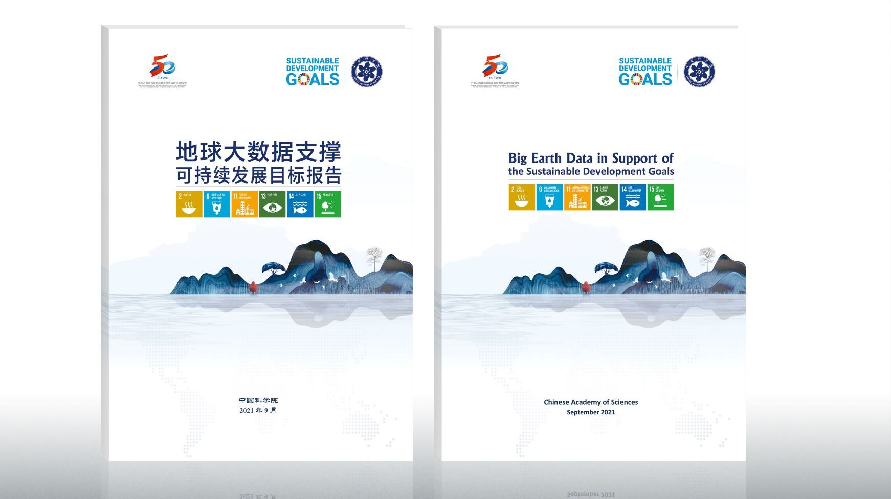
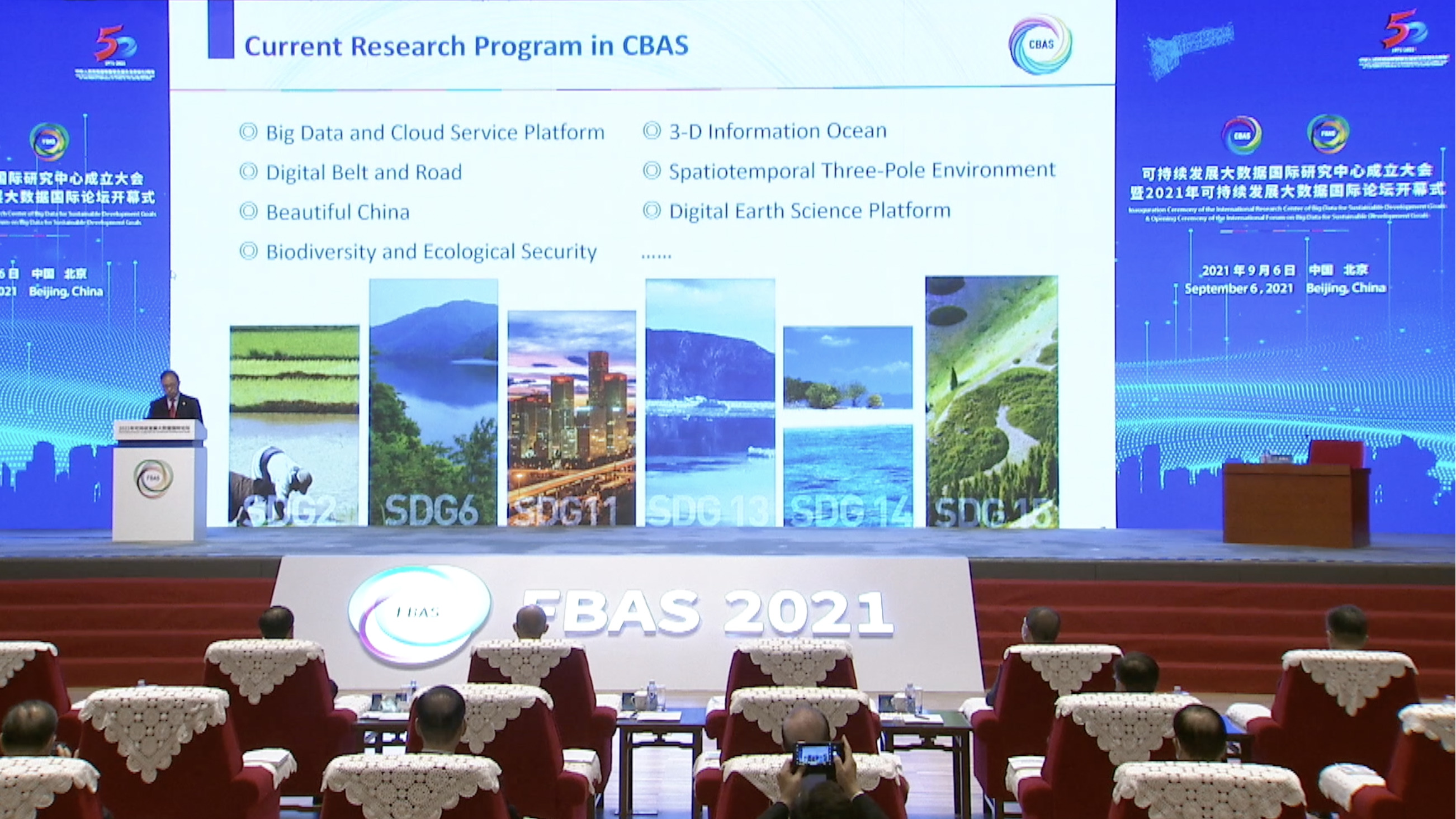
2021 Report on Big Earth Data in Support of the Sustainable Development Goals Released
On September 28, the International Research Center of Big Data for Sustainable Development Goals (CBAS) held a press conference to introduce the report on "Big Earth Data in Support of the Sustainable Development Goals (2021)" which was released on September 26 by China on the Sustainable Development Forum 2021. It is the third straight year since 2019 that China releases the Report series presented by the scientists from the Chinese Academy of Sciences (CAS).
Sep 28, 2021
-
Xi: Innovation, Big Data to Aid 2030 Agenda
President Xi Jinping called on Monday on the international community to take advantage of scientific innovation and big data to overcome key obstacles in fulfilling the United Nations' Sustainable Development Goals.
Sep 07, 2021
-
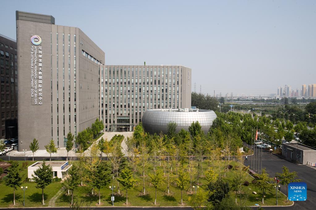
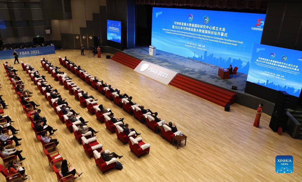
International Research Center of Big Data for SDGs Inaugurated in Beijing
The International Research Center of Big Data for SDGs was inaugurated in Beijing on Sept. 6 to support the UN 2030 Agenda for Sustainable Development. (Xinhua/Jin Liwang)
Sep 10, 2021
-
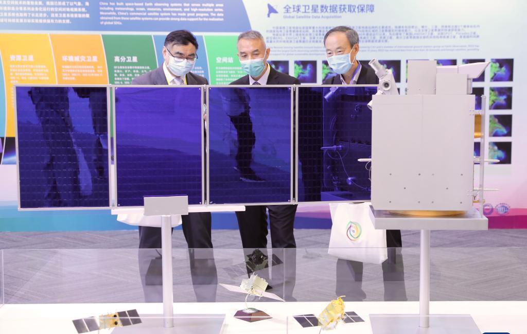
China Develops Sustainable Development Satellite
The Chinese Academy of Sciences (CAS) has developed a satellite for pursuing sustainable development.
Sep 09, 2021
-
China launches research center to help UN meet sustainable development goals
Chinese Academy of Sciences (CAS) has launched a research center to use and share earth observation data to help the world meet the United Nations Global Sustainable Development Goals (SDGs).
Sep 07, 2021

-
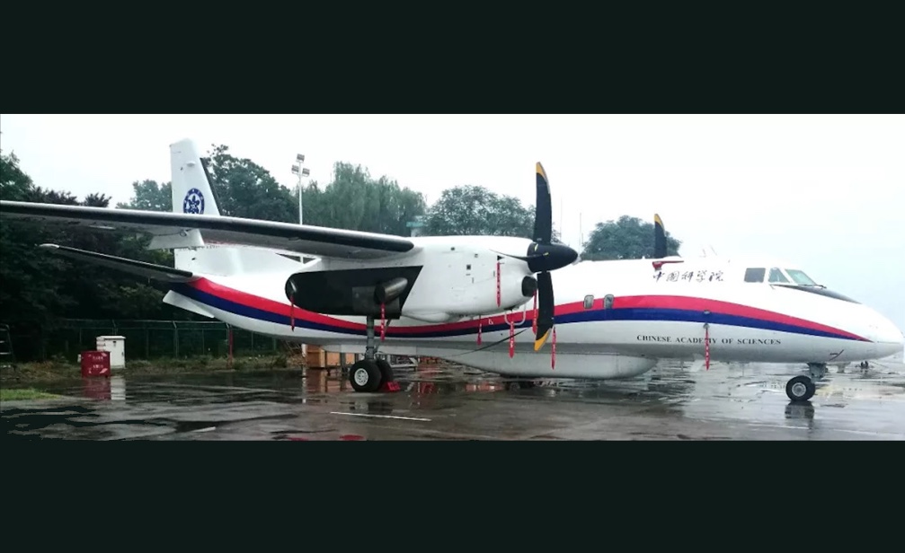
China Launches Home-grown Aeronautic Remote-sensing System
BEIJING, July 22 (Xinhua) -- China's new aeronautic system for conducting detailed observations and monitoring of Earth's surface passed its final acceptance stage on Thursday and is now formally in operation.
Jul 23, 2021
-
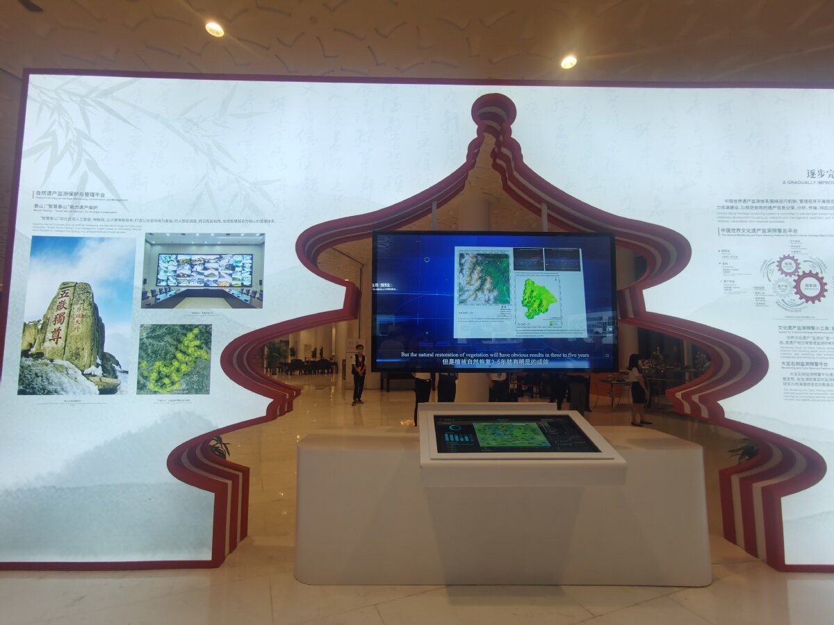
Space Tech to Monitor World Heritage Sites Focus of UN Event
A side event of the 44th Session of UNESCO World Heritage Committee was held on Monday focusing on the adoption of space technology on the monitoring and conservation of World Heritage Sites.
Jul 22, 2021
-
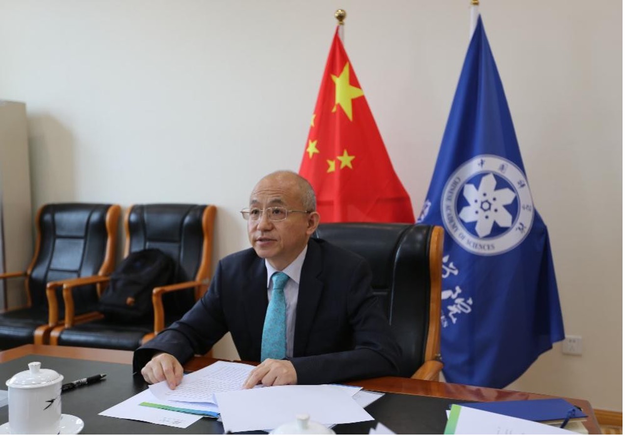
HIST Holds 9th Governing Board Meeting
The Governing Board of the International Centre on Space Technologies for Natural and Cultural Heritage (HIST) held its 9rd board meeting on June 23 via video link.
Jul 07, 2021

-
Meet Jiangxi on Cultural and Natural Heritage Day
The International Centre on Space Technologies for Natural and Cultural Heritage (HIST) has an image gallery on natural and cultural heritage sites of Jiangxi Province to celebrate this year's Cultural and Natural Heritage Day, which falls on June 12.
Jun 12, 2021
-
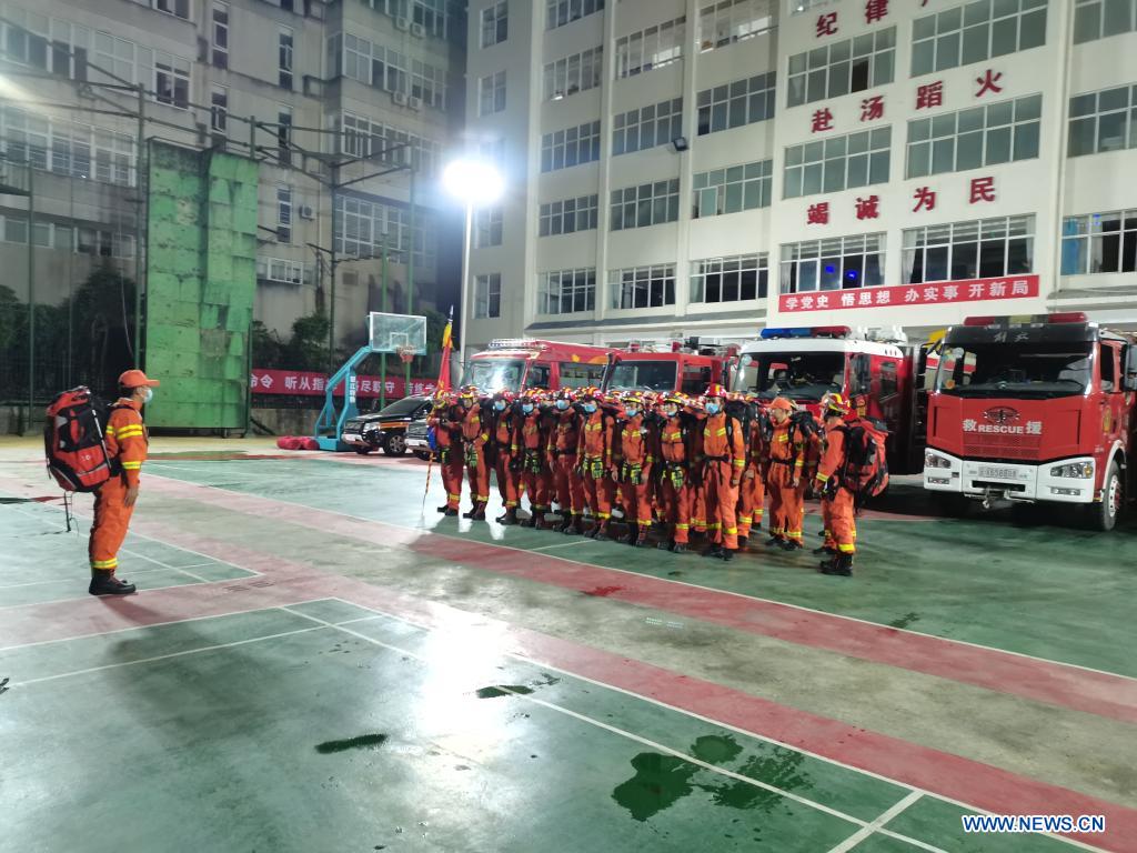
Scientists Aim for Global Mechanism to Tame Disasters
The Chinese scientific community will enhance cooperation with international peers in establishing a global mechanism to assess and mitigate natural disaster risks, thus promoting a safer and more sustainable world, experts said on Tuesday.
Jun 11, 2021
-
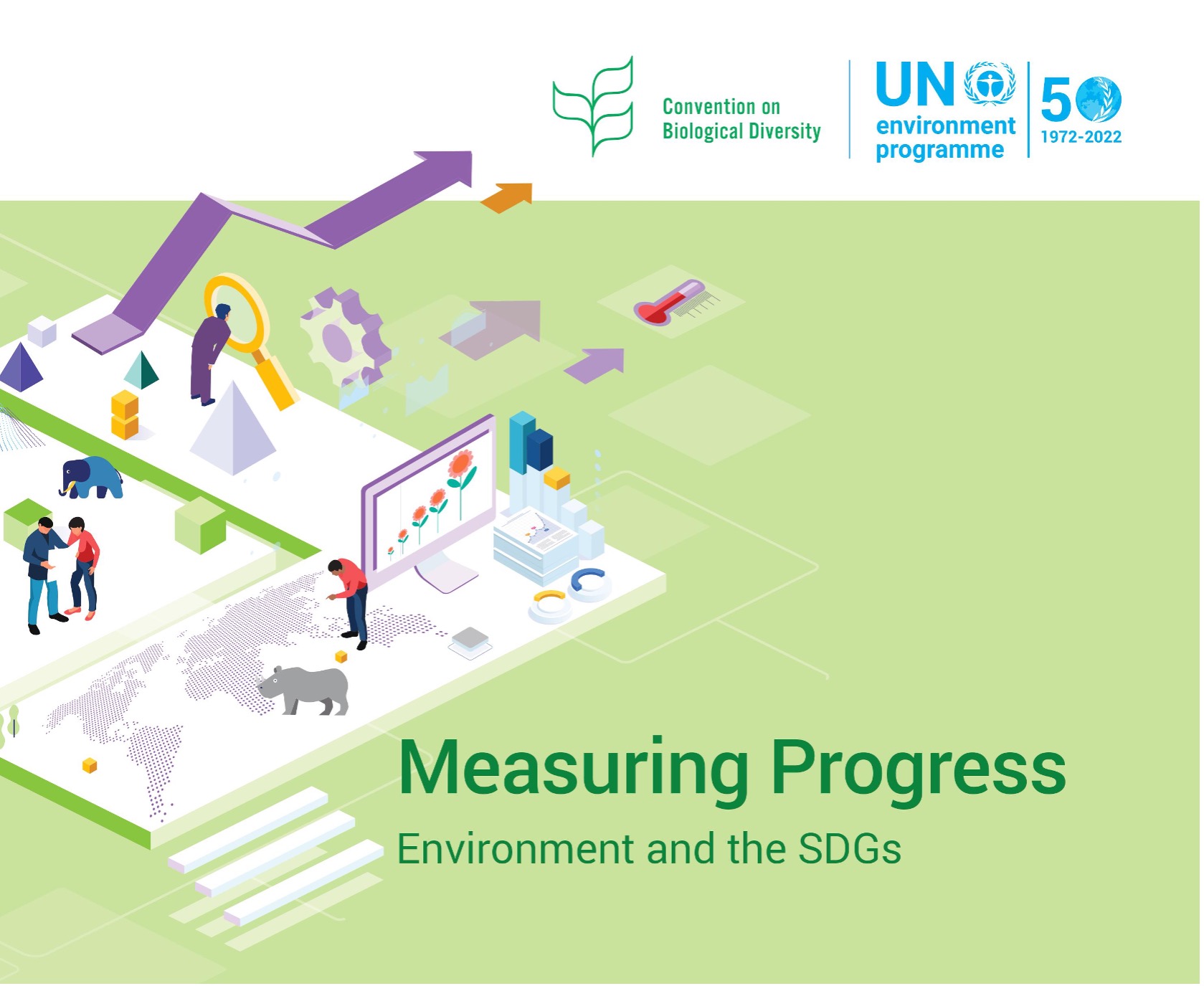
CAS Scientists Contribute to UNEP "Measuring Progress" Report
A report "Measuring Progress: Environment and the SDGs" was released online by the UN Environment Programme (UNEP) on May 22, the International Day of Biological Diversity.
Jun 10, 2021
-
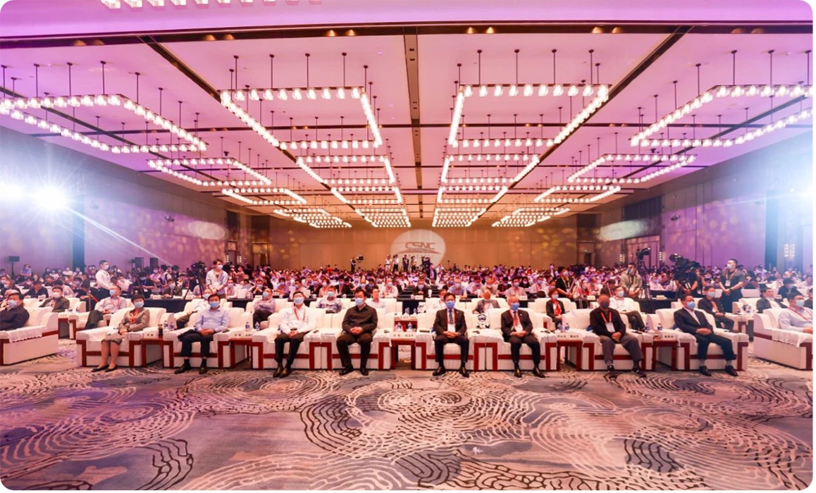
12th China Satellite Navigation Conference & Expo Held in Nanchang
The 12th China Satellite Navigation Conference (CSNC 2021), accompanied with the 12th China Satellite Navigation Expo, was held in Nanchang, Jiangxi Province on May 26, 2021.
Jun 05, 2021
News & Events