

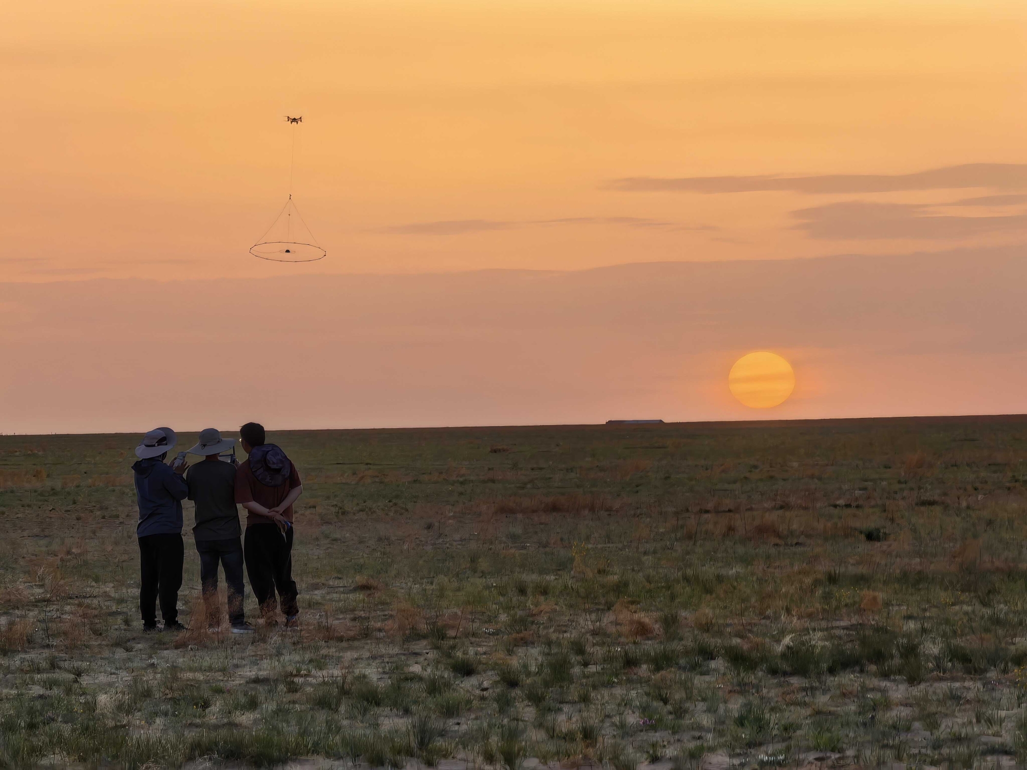
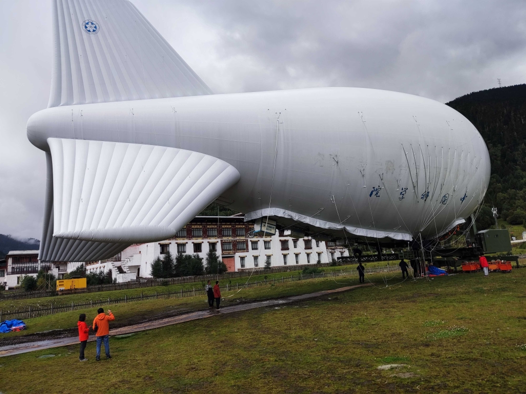
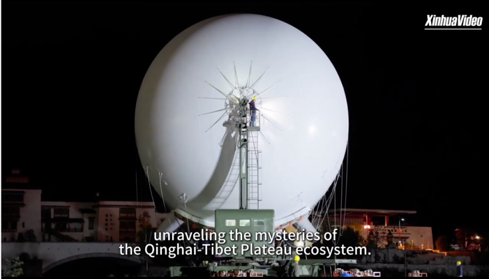
Scientists have used a tethered balloon to measure cloud droplets, aerosols, and electric fields over the Qinghai-Xizang Plateau, revealing links between aerosol abundance and droplet properties and documenting weak electrical activity in clouds without lightning. The study was published in Advances in Atmospheric Sciences .
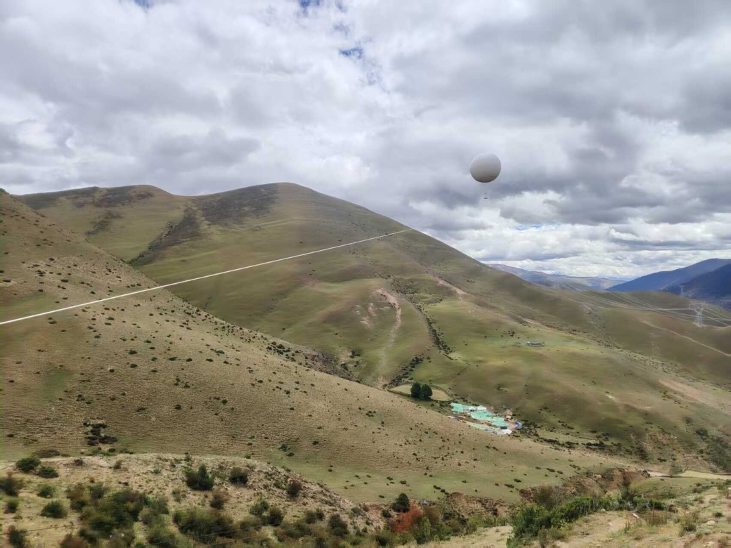
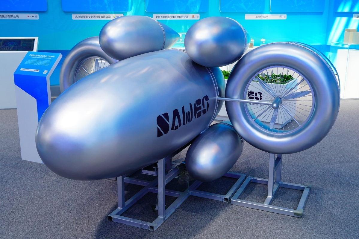
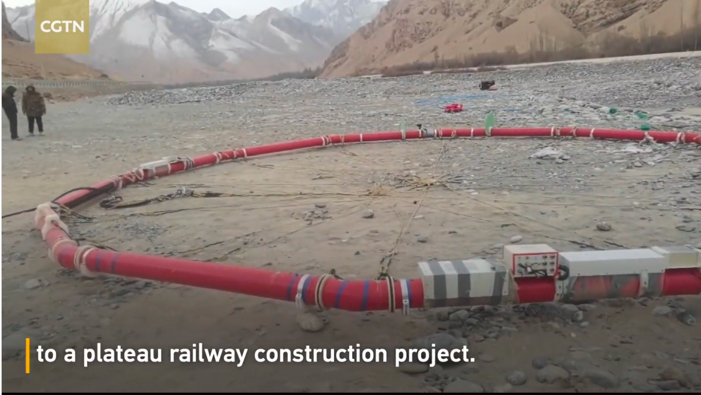
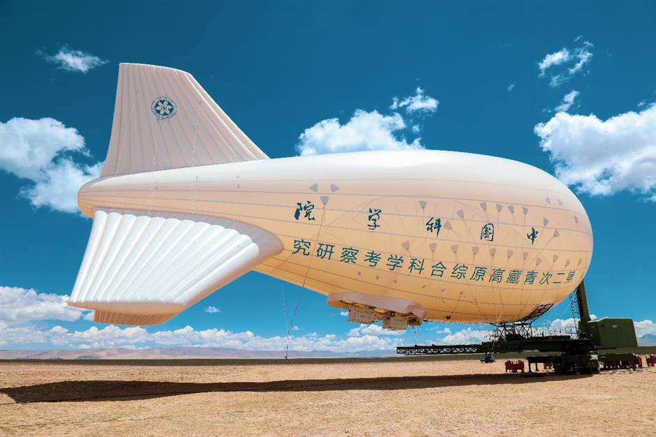
A tethered balloon capable of lifting two tonnes successfully completed a trial in Xizang on September 21, carrying two tonnes of transmission tower materials to a steep ridge at an altitude of 4,000 meters. The trial demonstrated a new way to transport heavy construction materials to remote mountain sites while reducing the need for access roads.
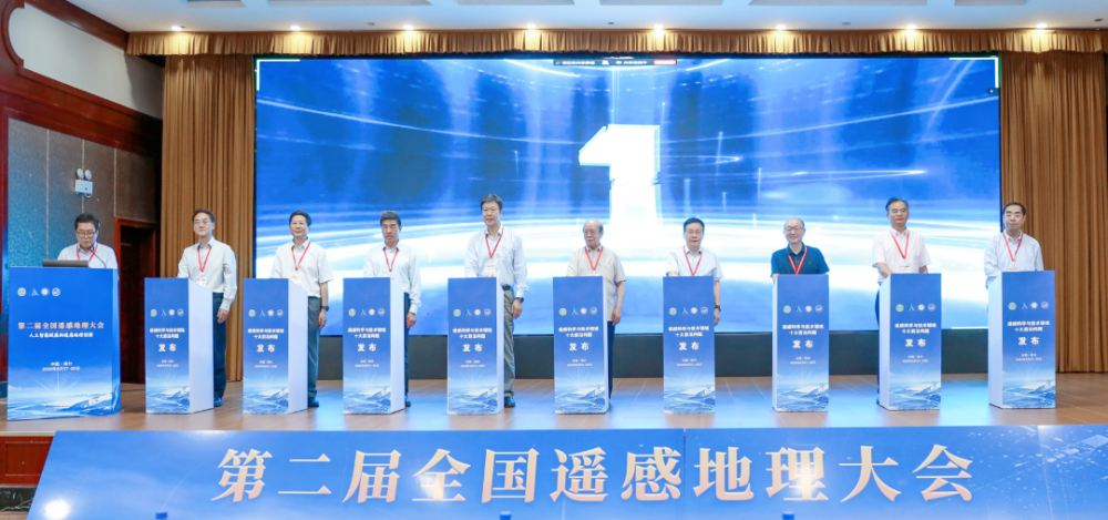
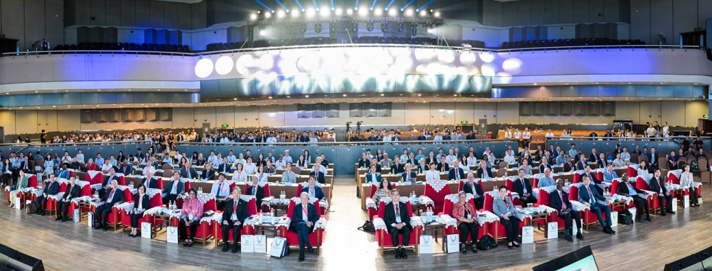
Ten frontier scientific challenges expected to shape future research and technological development in remote sensing were unveiled on Aug. 28 at the opening ceremony of the Second National Conference on Remote Sensing Geography in Kashgar, northwest China's Xinjiang Uygur Autonomous Region.
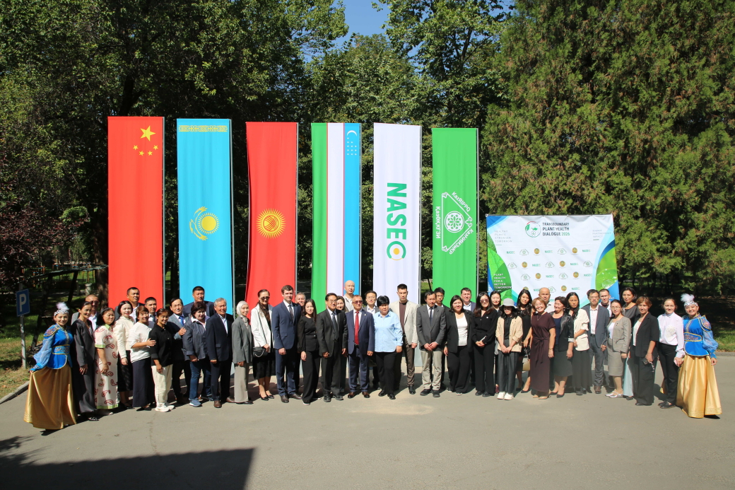
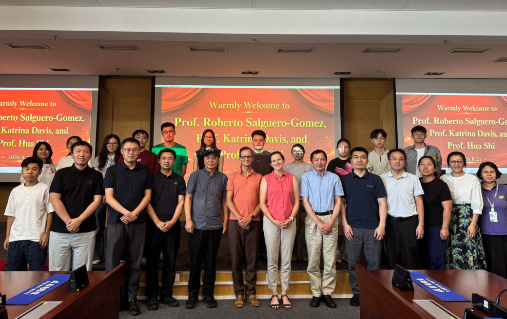

- 02 Sep 2026 PIFI Seminar: Preparedness and Planning for the Mountain Hazard and Risk Chain in Nepal B714, Aerospace-B Sept.2, 2026
- 02 Sep 2026 PIFI Seminar: Remote Sensing-Based Evaluation of Rice Crop Responses to Drought Stress in the Coastal Region of Bangladesh Delta B714, Aerospace-B Sept. 2, 2026
- 17 Aug 2026 FIRST ANNOUNCEMENT and CALL FOR SESSIONS and ABSTRACTS for DBAR2026 and ISEO2026 August 17–21, 2026 Cholpon-Ata, Issyk-Kul Region, Kyrgyz Republic






- Profile
- Leadership
- People
- Campuses
- Visiting AIRCAS
- Contact Us
About AIRCAS
- Research News
- Big Science Infrastructure
Research
- Overview
- CAS Members
People
- Focus on
- Research News
- News Updates
- Events
Newsroom
- ChinaGEO
- CASEarth Data
Data Services
- Publications
- Multimedia


