

Newsroom
-
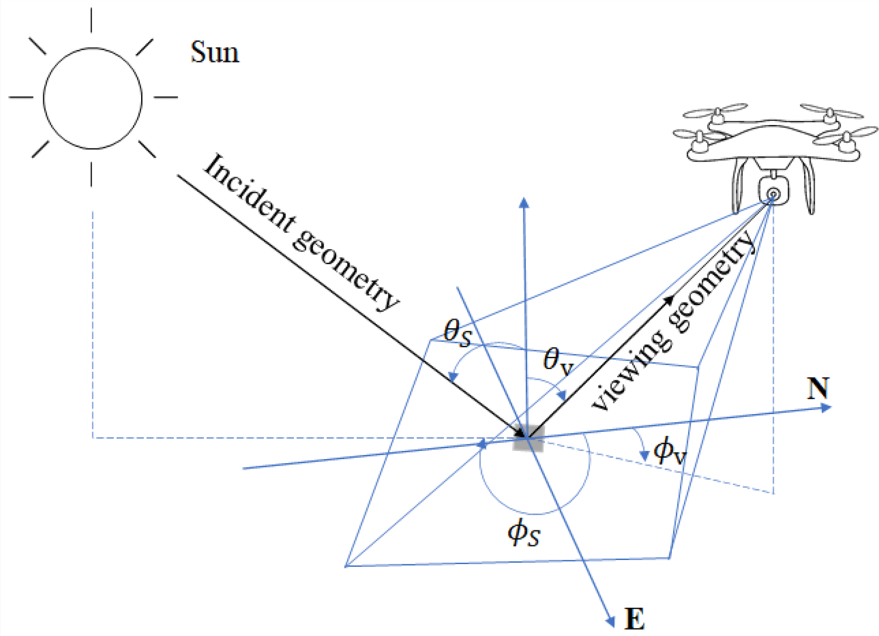 UAVs Facilitate Bidirectional Reflectivity Measurement for Ground-Based Objects
A recent study employed polygonal flight paths along the hemisphere to measure Bidirectional Reflectance Distribution Function (BRDF) for ground-based objects, even at large zenith angles and all azimuth angles. The study was published in Remote Sensing on Oct 18, 2023.
25 Oct 2023 -
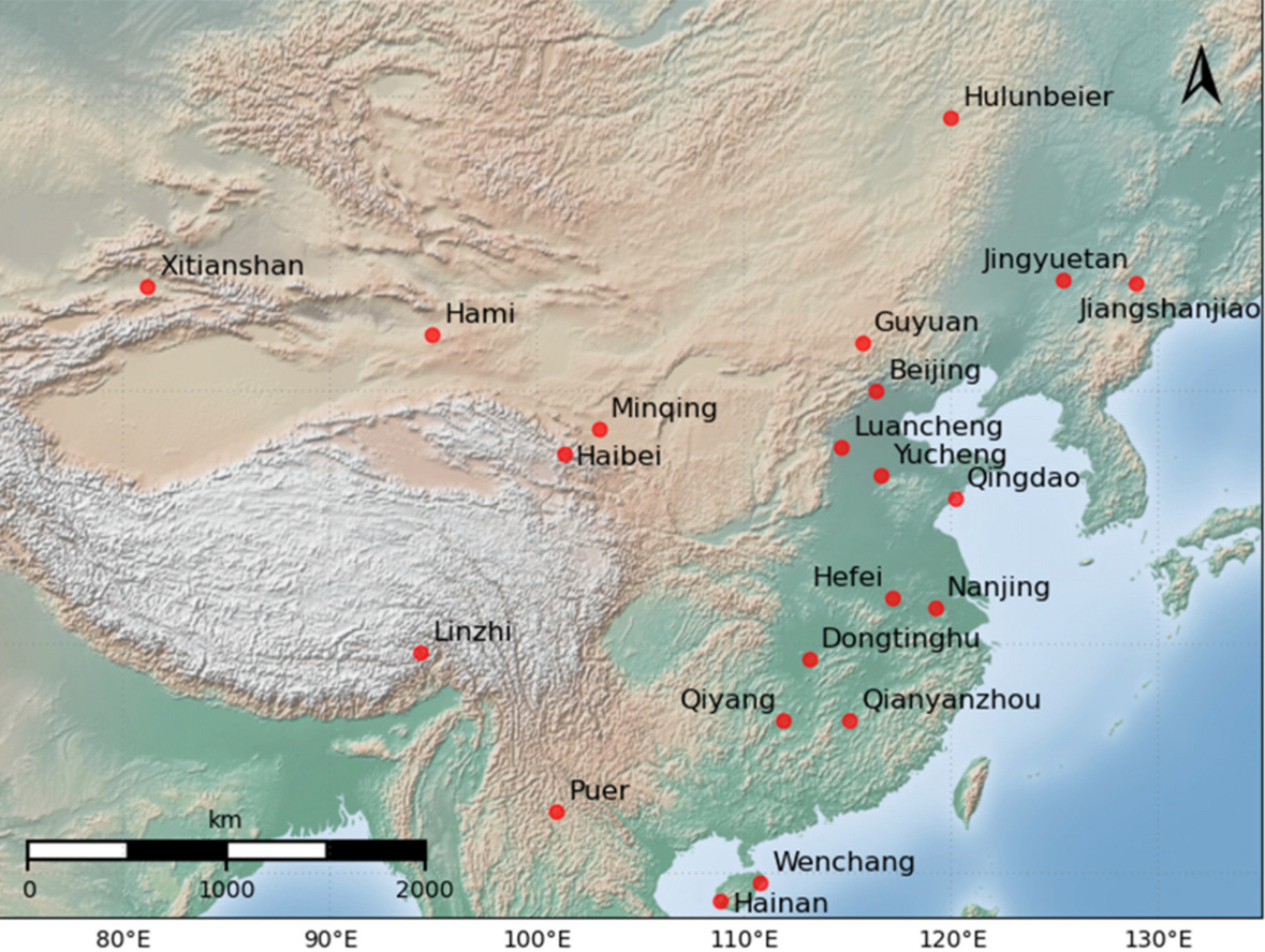 Study Enhances Validation of MERRA-2 Aerosol Optical Thickness Dataset in China
A recent study published in Atmosphere made advances in the validation of MERRA-2 Aerosol Optical Thickness Dataset in China. The study was conducted by scientists from the Aerospace Information Research Institute (AIR), Chinese Academy of Sciences.
25 Oct 2023 -
 Legacy of Pre-Phase Landslides: Impact on Post-Seismic Landslide Susceptibility
A new study delves into the long-lasting effects of pre-phase landslides on future landslide occurrences and evaluates the susceptibility of regions prone to seismic events. The study was conducted by a research team from the Aerospace Information Research Institute (AIR), Chinese Academy of Sciences, with the research results published in the International Journal of Digital Earth on Oct. 18, aiming to establish a robust post-seismic landslide susceptibility model and unravel the spatio-temporal dynamics of landslide vulnerability.
24 Oct 2023 -
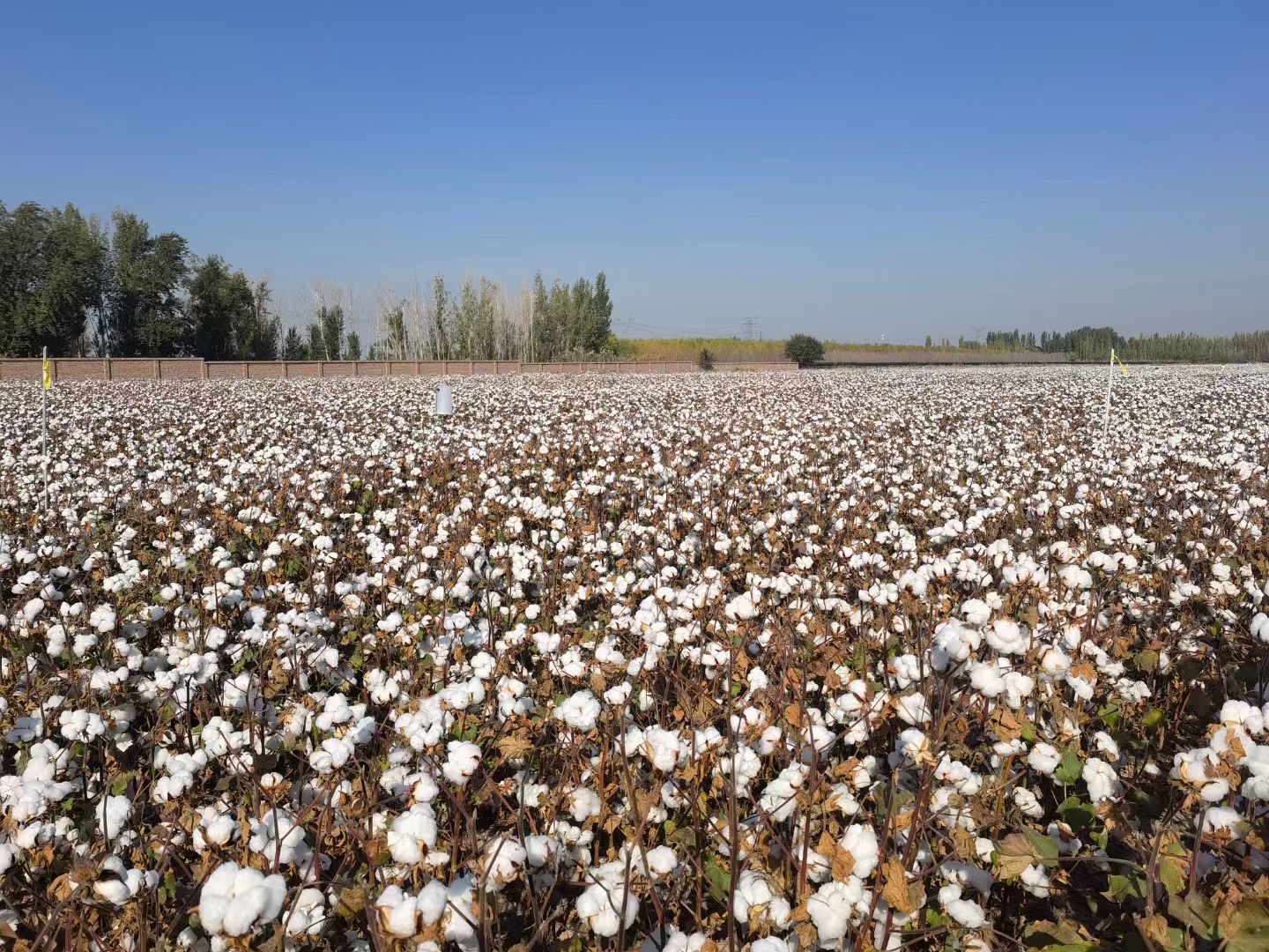 Scientists Release 10-meter-resolution Cotton Map in Xinjiang, China
Scientists from the National Engineering Research Center for Satellite Remote Sensing Applications under the Aerospace Information Research Institute (AIR), Chinese Academy of Sciences (CAS), together with collaborators from Shihezi University (Xinjiang, China) and University of Toronto (Toronto, Canada), proposed a generalized cotton mapping strategy that provides cotton maps throughout Xinjiang with high-resolution performance.
18 Oct 2023 -
 Scientists Develeop First 30-m Global Map of Tidal Flats
The first global 30-m map of global tidal flats (GTF30) was developed by a research team led by Prof. LIU Liangyun from the the Aerospace Information Research Institute (AIR) of the Chinese Academy of Sciences (CAS). The study was published in “Journal of Remote Sensing”.
16 Oct 2023 -
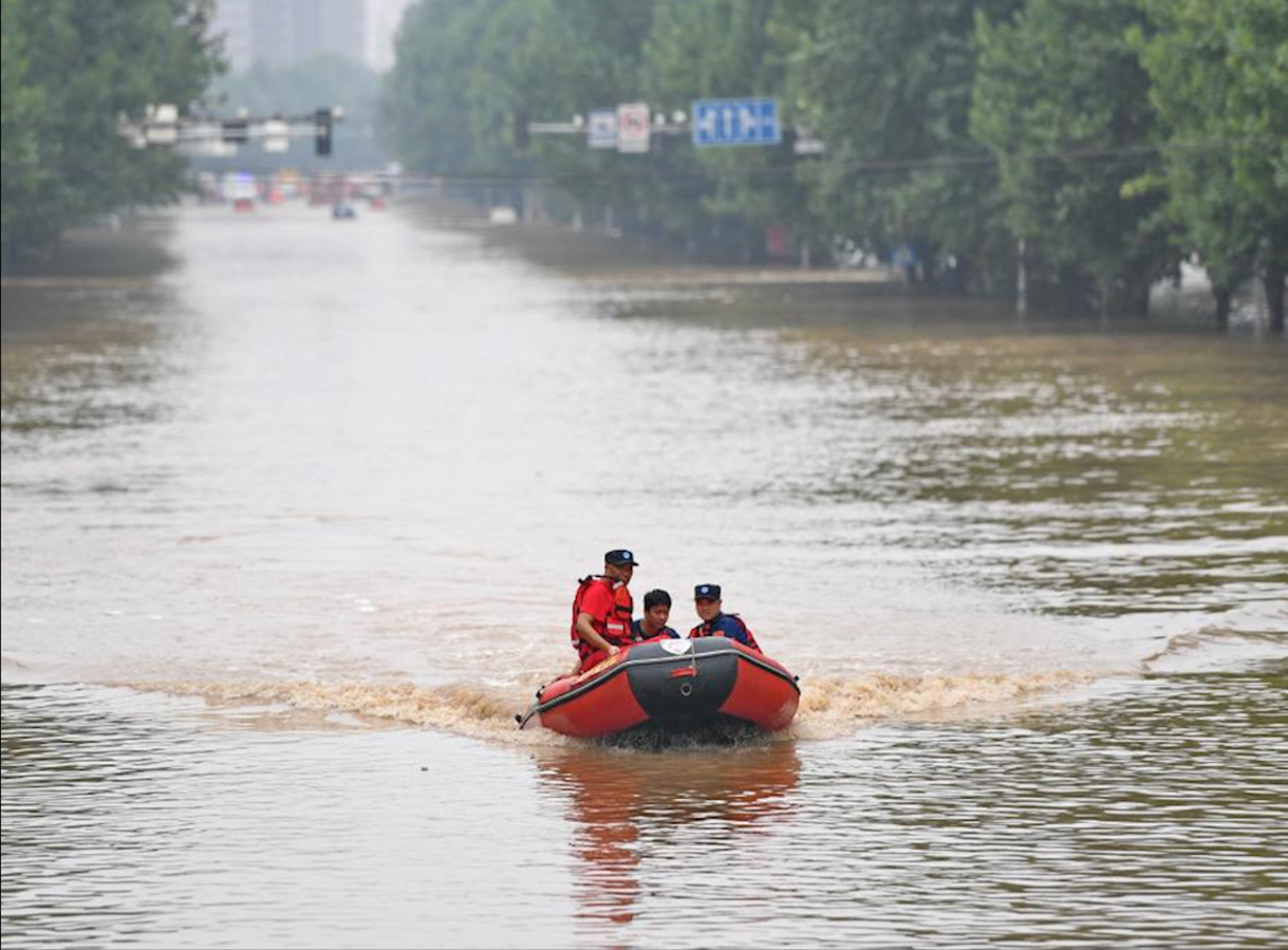 China’s First Comprehensive Service Platform for Flood Early Warning and Monitoring Launched
China's first comprehensive service platform for flood early warning and monitoring, independently developed by the National Earth Observation Data Center (NODA), was launched, according to the Aerospace Information Research Institute (AIR), Chinese Academy of Sciences.
09 Oct 2023

