Comprehensive Experiment for Regional Ecological Monitoring Conducted in North China
The Aerospace Information Research Institute (AIR) of the Chinese Academy of Sciences (CAS) led a comprehensive experiment as part of the Common Application support Platform for Land Observation Satellites of China’s Civil Space Infrastructure . This experiment, which coordinated space-based, air-based, and ground-based observations, was conducted from August 12 to 25 at the Space-based Northwest Comprehensive Experimental Field in Bayannur, western Inner Mongolia of North China.
This experiment took place in the Wuliangsuhai Basin, a wetland area renowned for its rich biodiversity. The study focused on the comprehensive monitoring of the region's diverse ecosystems, including mountains, rivers, forests, farmlands, lakes, grasslands, and deserts. The primary goal was to enhance the use of domestically produced satellites in supporting regional ecological protection and restoration efforts.
Over two weeks, ground observations were conducted to collect extensive data, including geometric control points, ground elevation, surface reflectance, water surface temperature, soil moisture, vegetation coverage, and more. The experiment yielded over 20,000 data entries and formed 19 types of common product validation datasets, with raw data exceeding 150GB.
Simultaneous observations were carried out using 17 domestic satellites, resulting in over 50 synchronized satellite-ground observations. Additionally, AIRCAS deployed its aerial observation platform, which integrates multiple Earth observation windows, to conduct surveys over a 1,200-square-kilometer area. This effort provided high-resolution hyperspectral, multispectral, and microwave aerial data.
For the first time, the team utilized a long-endurance UAV equipped with a multi-payload observation platform, including hyperspectral, thermal infrared, and LiDAR sensors, to conduct aerial observations across various land cover types. This approach enabled the collection of high-resolution, coordinated flight observation data from multiple payloads, significantly enhancing the detailed observation of surface structures.
During the experiment, Prof. Wu Yirong, Director-General of AIRCAS, led a team in conducting on-site investigations of the comprehensive experiment. Prof. Wu stressed the importance of validating remote sensing products and lowering the barriers to using remote sensing satellite data to promote the broader application of domestic satellite products across various industries.
This experiment highlights China's efforts in advancing satellite-based ecological monitoring and the comprehensive data collection that will benefit various sectors such as environmental protection and precision agriculture.
This experiment was organized by the National Engineering Research Center for Remote Sensing Satellite Applications at AIR, with participation from several organizations, including the Land Satellite Remote Sensing Application Center of the Ministry of Natural Resources, the Satellite Application Center for Ecology and Environment of the Ministry of Ecology and Environment, and the National Satellite Ocean Application Service.
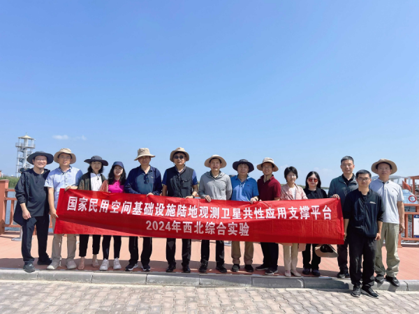
A group photo.
News & Events